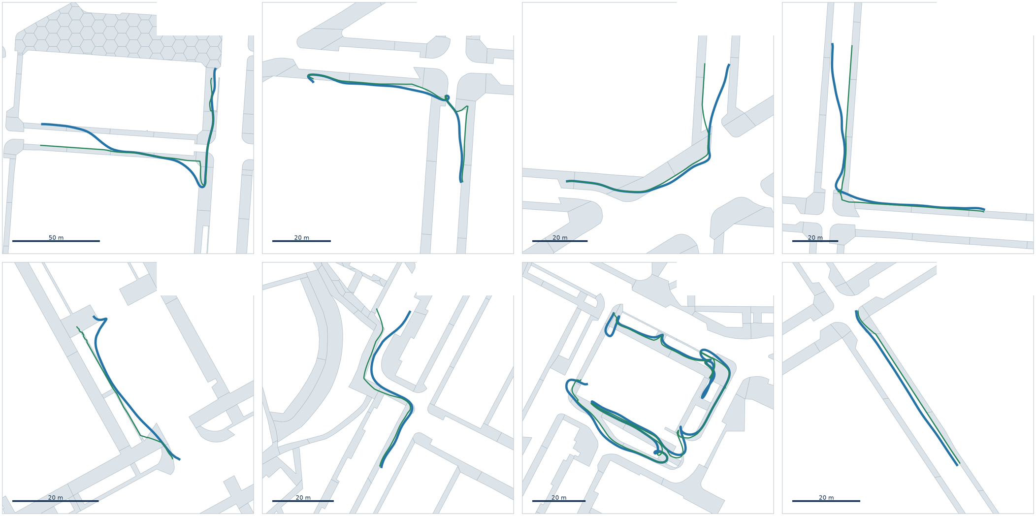
The correction
When a sidewalk survey is recorded from an e-scooter, ordinary GPS error is enough to place the trace in the road or on the opposite sidewalk, and the nearest sidewalk is often the wrong one. I proposed guiding the whole trace instead: build a connected graph from the skeleton of the sidewalk polygons and move the trace along it while preserving its shape, using the heading to resolve corners and parallel sidewalks.
The correction keeps the structure of the original recording, never splitting a trace where the GPS itself did not, and I took it from that first idea to a pipeline that processes complete survey areas in parallel and has been applied to real surveys.
Checking it against video
A map alone cannot tell which of two parallel sidewalks a scooter was on, but the footage can. I built a reviewer that plays the video in sync with the map, with the corrected and the raw position moving along the route and an arrow for the heading, which is what turns “on the left of the picture” into a side of the street. Where the algorithm gets a trace wrong, it can be fixed by hand there or in a QGIS plugin that shares the same editing logic, and points added by hand are marked in the export so they are never mistaken for measured ones.
geospatialpythonqgis